April Fools Storm Sparks Memories
GWC Recalls Severe Weather Outbreaks of November 1989
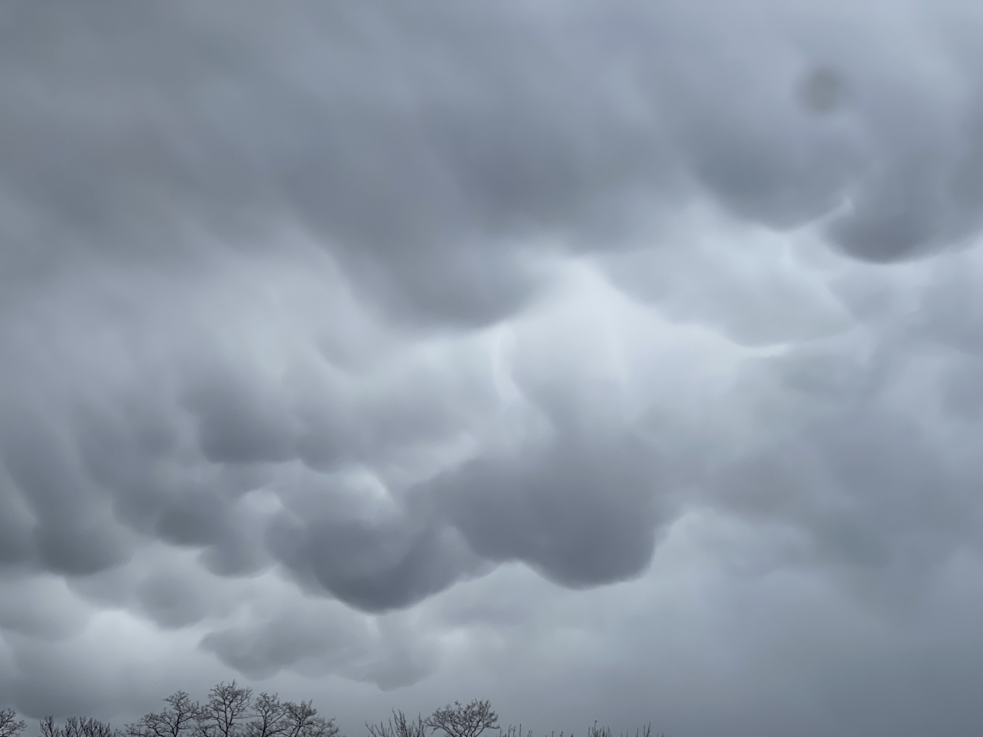
SOUTH PLAINFIELD, NJ – A little over a month ago, severe weather pounded Northwestern Middlesex County as well as the rest of the Garden State. The April Fools Storm sparks memories of another severe weather outbreak. GWC recalls the severe weather outbreaks of November 16th and 20th, 1989. The severe weather at the beginning of last month spawned as many tornadoes as the severe weather eruption of November 16, 1989. Both storm systems produced 7 twisters in the Garden State.
Although both systems produced an equal amount of tornadoes, they differed in terms of where these storms occurred. Last month, the majority of the tornadic storms touched down in the Southern part of New Jersey from I-195 southward. Back in November 1989, the storms were distributed more in Northern New Jersey. The storms were also weaker. Of the seven twisters from that fateful day nearly 34 years ago, 5 were F0 and the other two were F1.
April Fools Storms More Powerful
Meanwhile, the storms from a month ago were more powerful. There were no EF0 twisters while three were EF2. According to the National Weather Service, the strongest tornado during the outbreak in the Garden State occurred in Ocean County The Jackson Township storm had estimated maximum winds of 130 miles per hour. It carved a path of devastation for a little over two miles and had a max width of 200 yards. Two other storms weren’t as strong, but they were actually longer and wider.
A tornado that roared through the area of Allentown and Cream Ridge in Western Monmouth County lasted four 4 miles and was 550 yards wide. Another twister in Burlington County was even bigger. The tornado that rolled through the three towns of Cinnaminson, Delran, and Moorestown traveled 6 miles and was 600 yards wide. Both of these severe storms were not as intense as the Jackson Township storm with only EF1 intensity.
Most Powerful Storms of the Outbreaks
The Jackson Township area also felt the effects of a second tornado. This twister was slightly weaker than the other storm in town that day. It only had maximum winds of 120 miles per hour and traveled 1.4 miles with a width of only 150 yards. The tornado also affected portions of Howell Township in neighboring Monmouth County. Back in 1989, the largest and most powerful storm of the November 16th outbreak occurred in Mercer County.
Affecting the Trenton and Lawrenceville areas, this twister was one of the two F1 storms during the outbreak. Maximum winds with this storm were anywhere from 73 to 112 mph. The devastating funnel traveled four miles and was 800 yards wide. The other F1 storm touched down in Lyndhurst in Bergen County. However, the path of the storm was only about half a mile and 30 yards wide. Although the rating scales for these storms were different, one could argue that our April Fools outbreak was the worst in NJ history.
Both Outbreaks Days in the Making
Both of these outbreaks were days in the making. The storm system that produced the severe weather at the beginning of last month produced 114 twisters nationwide the day before. Of those twisters, 26 were EF2, 9 were EF3, and one was an EF4 according to information provided on Wikipedia. Over the two days of severe weather on March 31st and April 1st, 27 people were killed. Twenty-four of those fatalities occurred during the explosion of severe storms on March 31st.
Returning back to 1989, the storm system then had already made an impact elsewhere. Most notably in Madison County, Alabama where an F4 tornado slammed the southern portion of Huntsville. According to a disaster survey conducted by the National Weather Service office in Birmingham, Alabama, the deadly and devastating twister struck around 4:30 PM. The tornado moved from the southwest to the northeast through a business district and a densely populated residential area.
Killer Storms in Both Outbreaks
The result was 21 deaths and 463 injuries from the storm. In a part of the country that had seen 25 tornadoes from the time records had been taken in 1950 until a month before the disaster, this particular storm ranks high on the list. Only the Super Outbreaks of 2011 and 1974 rank higher than the November 15, 1989 storm in Huntsville according to Advanced Roofing and Construction of Northern Alabama. In total, the November 1989 tornado outbreak produced at least 40 tornadoes from the Southern United States to the Mid-Atlantic and Canada.
The most powerful tornado of the bunch from a month ago was in the town of Keota, Iowa, which had its western side of town devastated by a minimal EF4 twister. Another strong storm struck in the Mid-Atlantic. The most intense storm in the NWS Mount Holly forecast area was in Delaware. An EF3 twister with estimated top winds at 140 miles per hour carved a 14-mile, 700-yard-wide path of destruction from Bridgeville to Ellendale. The storm left one person dead. It was the first killer tornadic storm in Delaware since 1983, and the second EF3 since records began in 1950.
Personal Recollections of the 1989 Outbreak
Looking back again at 1989, the deadliest storm in the Mid-Atlantic and Northeast that day was in Newburgh, New York. Nine people were killed when an F1 tornado struck an elementary school in the town located in Orange County, New York. I can remember listening to the reports of the storm in Newburgh on the radio courtesy of 1010 WINS in New York City. There were other personal experiences I can share from that day. Overall, the experience was much like the one I had when Tropical Storm Isaias came up several years ago.
I was just 19 at the time. Going to college part-time at Middlesex County College. I had class the night before and had woken up in the late morning to the sound of the roaring winds outside. I was quite startled. So, I went outside to check things out. I was amazed at what was happening. The roaring sound of the wind was something I’ll never forget. There was one point when I could hear the winds picking up as they gusted to at least 50 to 60 miles per hour. At that instant, I thought to myself that this was something very serious, and decided to go back inside.
Information Harder to Come By
Trying to get some information about what was happening, I turned on the television and the radio. Back then there wasn’t any social media, and my family didn’t get cable television until the following year. So, trying to find out what was happening locally was very difficult. As a matter of fact, I didn’t even realize until recently, that there were 7 tornadoes that day in New Jersey. However, when I heard the date of November 1989, I wasn’t surprised since I recall the weather that day quite well.
Watching the news on television, I learned in a CBS News brief of the day that the storm system caused the devastating twister in Huntsville. I also heard of storms elsewhere in the South and could see on satellite how large the storm system was. The low-pressure system and frontal area stretched from Canada all the way down to the Gulf Coast. One of the tornadoes actually struck not too far from GWC in Middlesex County. The F0 tornado destroyed a home in the Yorktowne Square development in Piscataway according to the article from NJ.com in November 2019.
Second November 1989 Outbreak
The severe weather wasn’t through either. Four days later, another round of severe storms rolled through the Garden State, Mid-Atlantic, and Northeast. On the evening of Monday, November 20, 1989, severe storms produced powerful straight-line winds right down the I-95 corridor. The winds actually began to pick up as I was walking out of my Calculus class, and heading to my car at Middlesex County College. The power of the wind actually began to pick me up and carry me. Fortunately, I was able to get to my car and safely get home that night.
On the way home in the car, I had the radio on, and remember hearing the storm warnings being issued over the air. Winds were being reported as high as 80 miles per hour. People were being told to stay away from windows. Then, when I arrived home, I turned on the Monday Night Football game between the Denver Broncos and Washington Redskins from RFK Stadium in Washington, D.C. The weather was having a significant impact there as well.
Use the coupon code: GWCHURRICANEVILLE, and get 10 percent off your purchase of a Weatherflow WINDmeter.

Strong Winds Hamper MNF Game
The night’s broadcast started out with tranquil and pleasant weather in the nation’s capital. According to ABC’s Al Michaels, the weather was beautiful during the day that Monday. Temperatures were in the mid-60s, and conditions were still quite balmy at game time. However, the situation on the gridiron rapidly changed with the approaching storm system. After Washington had jumped out to a 7-0 lead, and before Denver cashed in on a Redskins fumble, the winds began to pick up.
Following a Gary Kubiak pass to Melvin Bratton that tied the score at 7-7 in the first quarter, debris started to swirl around. Washington drove into Denver territory for a field goal attempt that was missed wide left. Denver came back down the field for another TD pass from Kubiak to Ricky Nattiel to complete an 18-play scoring drive for a 14-7 lead in the 2nd quarter. On the ensuing kickoff, the winds became more pronounced and more debris began swirling around the field. A Denver player had to hold the football to keep the ball from rolling off the tee.
Snow for Thanksgiving 1989
From that point on, the wind played a part in the outcome by hampering both teams’ ability to pass. The goalposts swayed in the gusty winds and larger pieces of debris flew across the field. The Redskins decided against kicking a 45-yard field goal and went for it on 4th down. The result was an incomplete pass as the wind knocked down the ball. Denver went on to win the game, 14-10, and ended up in the Super Bowl later that season.
The two severe weather outbreaks of November 1989 served as a dividing line between the unusually warm weather for that time of year, and the cold of winter. By the end of the week, there was snow just in time for the Thanksgiving holiday. Last month’s severe weather did bring about significant change for the start of Holy Week. Temperatures dropped into the 30s for lows by the following Monday. But the cold temperatures didn’t last long. By mid-week, temperatures were in the 70s and Thursday, April 6th was the first 80-degree day of 2023.