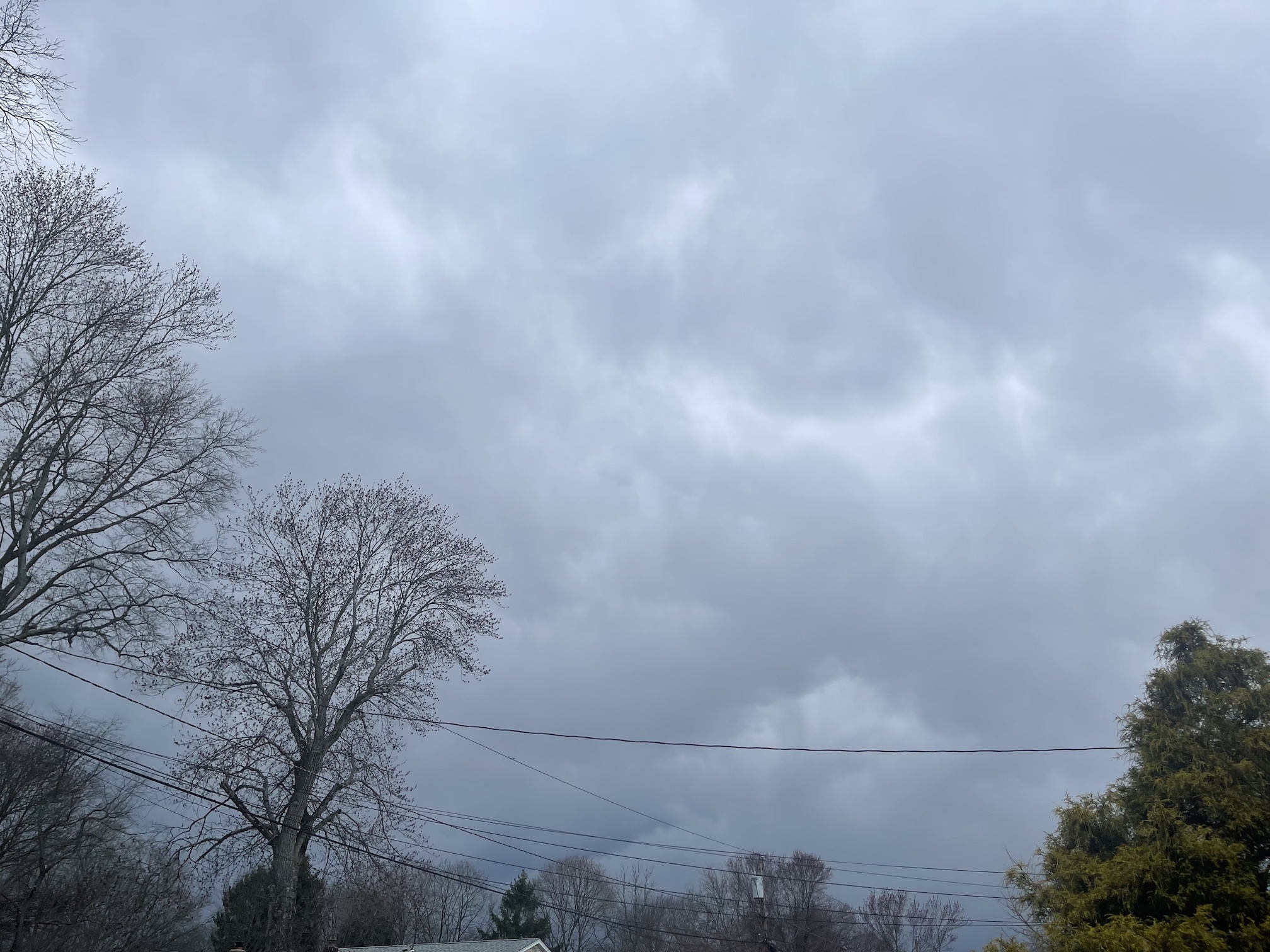
Stormy Weather No April Fools
Strong Cold Front Produces Severe Weather Outbreak in Garden State
SOUTH PLAINFIELD, NJ – The calendar read April 1st, but the weather was more like mid-summer in Northwestern Middlesex County on Saturday. The stormy weather was no April Fools though. Instead, a powerful cold front ushered in the month of April 2023 with a plethora of severe weather including high winds, hail, and a number of tornadoes in New Jersey. The Garden State has become more of a Tornado Alley in the past several years, but Saturday’s severe weather spawned a record-tying 7 tornadoes.
Despite the time of year, the forecast was spot on. The Storm Prediction Center in Norman, Oklahoma had indicated earlier in the week that a severe weather outbreak in the Mid-Atlantic was possible. After the odds waned a bit on Friday, much of the Mid-Atlantic including New Jersey was placed under a slight risk. Then, in the afternoon, the SPC’s outlook upgraded the risk to enhanced, a very rare classification here.
Storm Delivered on High Expectations
The storm system delivered on its high expectations when around 6:00 PM, skies grew very dark here at GWC in South Plainfield. It seemed the dark clouds appeared suddenly, but they had been several hours in the making. Prior to that, the barometer had been falling rapidly throughout the day. Over a span of 18 hours, the pressure dropped about 0.59 of an inch or 19.7 millibars. At the time the storms arrived, the barometer bottomed out at 29.26 inches or 991 millibars.
An hour or so before the storms blew through South Plainfield, the Storm Prediction Center issued a Tornado Watch for much of New Jersey until 10:00 PM. The storm system responsible for the chaotic weather had carved a path of destruction elsewhere. On Friday night, storms tore through Illinois and caused a roof to collapse leaving at least one person dead and another 28 injured. The approaching stormy weather would be no April Fools.
The Atmospheric Ingredients Were There
The ingredients were there on Saturday. Although the high temperature barely reached the lower 70s, there was plenty of energy in place. A weather-sounding courtesy of Tropical Tidbits and NYNJPA Weather indicated CAPE values as high as 1130 J/Kg. The environment was ripe for severe weather and tornadoes. By 2:25 PM EDT, the National Weather Service office in Mount Holly indicated that a Severe Thunderstorm Watch was in effect from South Central New York State down through Central and Eastern Pennsylvania until 8:00 PM.
The sunshine also played a pivotal role in the unleashing of this April Fools’ weather fury. After overcast skies in the morning, the sun came out during the afternoon and became a catalyst by heating up the atmosphere ahead of the powerful frontal system. The early spring sun lit the match to this explosive weather. As the skies darkened around dinner time, Mammatus clouds began to develop over Northwestern Middlesex County. Mammatus clouds are often associated with severe weather and tornadoes.
Storms Rip Monmouth and Ocean Counties
At 6:52 PM, the National Weather Service office in Mount Holly, New Jersey issued a Severe Thunderstorm Warning for the region. A line of severe thunderstorms extending from Millburn in Essex County down to Hopewell in Mercer County was rapidly moving east. Storms containing 60-mile-per-hour winds and hail were advancing at a pace of 45 mph. The line of storms ripped through Monmouth and Ocean counties producing several twisters in Cream Ridge, Jackson, and Howell Townships.
Other tornadoes developed in Sea Girt, Palmyra, Cinnaminson, and Mays Landing. In addition, there were twisters in Newtown, Pennsylvania, and Bridgeville, Delaware. The one in Delaware was the strongest with an EF3 rating on the Enhanced Fujita scale. It was also the longest (14.3-mile path) and widest (700 yards wide) of the tornadoes. The strongest in the Garden State was in Jackson, Howell, and Sea Girt with EF2 intensity.
Record Tying Tornado Outbreak
The damage from the storms in Jackson and Howell Townships was tremendous. Trees snapped, telephone/utility poles bent over, electrical wires hanging a few feet from the streets below, and debris everywhere. The tornado outbreak produced the most twisters in one day since November 16, 1989. The storms produced a tremendous amount of lightning with frequent lightning flashes and even a bolt of cloud-to-cloud lightning at GWC in South Plainfield.
Following the departure of the storms and the passage of the cold front, temperatures dropped. By the early morning hours of Monday, April 3rd, temperatures fell into the low 30s. As a result, the NWS office in Mount Holly issued a Frost Advisory from midnight to 9 AM on Monday. The thermometer at GWC would swing upward again by mid-week. Temperatures climbed into the 70s by Wednesday and reached 80 for the first time this year on Thursday. A weather-style roller coaster was underway. This stormy weather was no April Fools.

