Storm History
Lee Remains a Major Hurricane
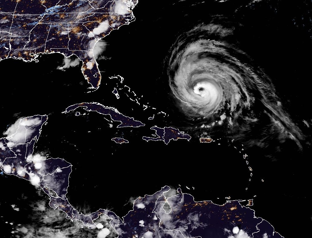
Satellite imager of Hurricane Lee in the Western Atlantic. Lee remains a major hurricane despite being in a weakening phase.
Read MoreApril 26, 2024
Blogging about weather events such as tropical storms and hurricanes, severe weather outbreaks, nor'easters and snowstorms affecting the Garden State.
Satellite imager of Hurricane Lee in the Western Atlantic. Lee remains a major hurricane despite being in a weakening phase.
Read More
Large waves from Hurricane Franklin crashing ashore at Manasquan Beach on August 30, 2023.
Read More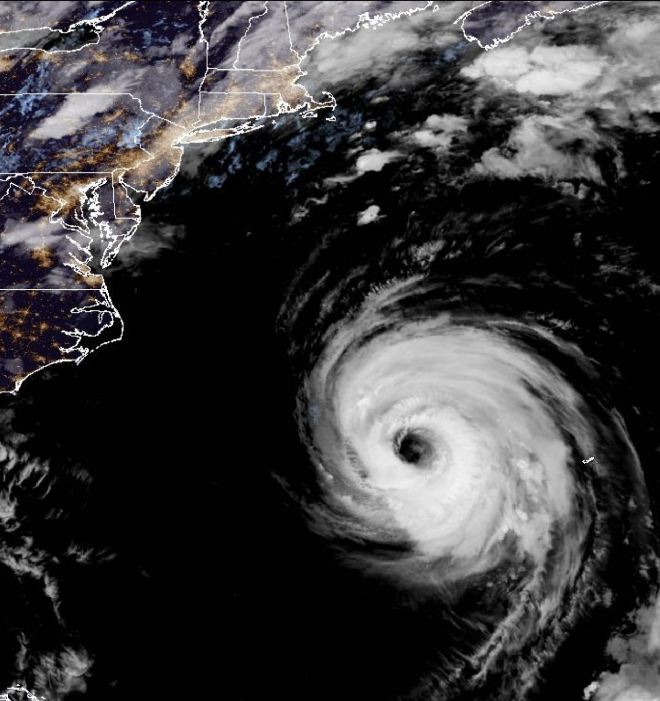
Hurricane Franklin has weaken to a minimal Category Three Hurricane after becoming the most powerful storm to date in the 2023 Atlantic Hurricane Season.
Read More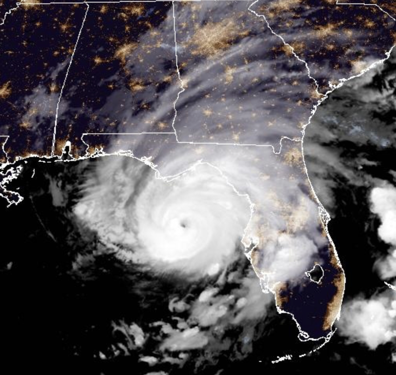
Category Three Hurricane Idalia bearing down on the Big Bend area of Northwest Florida during the early morning hours of August 30, 2023.
Read More
Despite La Niña Conditions Hanging on, the 2022 Season Has Been Unusually Quiet It has been eight days since the
Read More
Satellite image of Hurricane Agatha in the Eastern Pacific near the Southern Mexico coast. Agatha is the first named storm and hurricane of 2022. Image courtesy of NOAA.
Read MoreThe Comparison of the 2020 and 2005 Seasons Raises the Question: How Do You Quantify Tropical Activity? As we have
Read MoreSecond Named Storm to Impact Garden State in 2020 For the second time during this 2020 Atlantic Hurricane Season, a
Read More
Labor Day 2019 is a day that history repeated itself in the Atlantic Tropics. Actually it was on Sunday, but
Read More On this early Tuesday afternoon, Dorian has basically grinded to a halt in its forward motion while its winds have
Read More