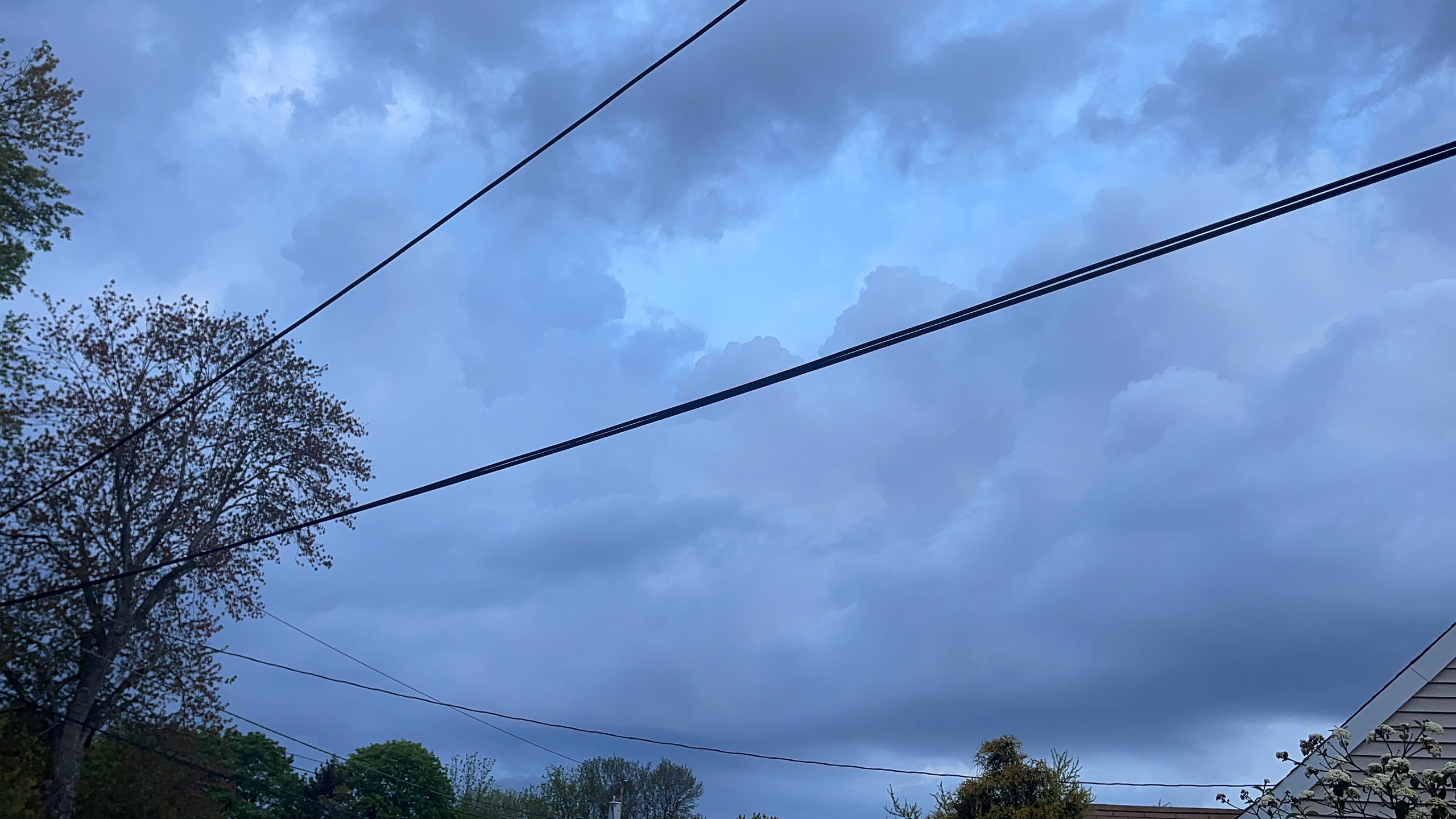
Another Stormy Saturday
Severe Weather Grips Garden State for Third Saturday This Month
SOUTH PLAINFIELD, NJ – It was another stormy Saturday here in New Jersey. For the second straight week, and 3rd in the past four, severe weather gripped the Garden State. This time, Mother Nature packed a punch with heavy rainfall. Greg’s Weather Center tallied 1.45 inches of rain from the storms that pushed through on Saturday night into Sunday morning. A station on the other side of South Plainfield actually got even more rain than that with 1.72 inches.
The storm totals significantly outperformed the forecasts. Forecasted rainfall amounts for much of Central Jersey originally ranged between a quarter to a half of an inch. Places to the north and west in Eastern Pennsylvania and Central New York were expected to receive heavier amounts. The heavy rainfall was preceded by gusty winds during the afternoon and early evening on Saturday. Clouds began to gather around noon time with high cirrus developing. Within the lunchtime hour though, cumulus clouds began growing in earnest in places like Watchung Lake in Somerset County.
Easterly Flow Didn’t Deter Storms
Perhaps a saving grace was the easterly flow that brought in a marine influence from the Atlantic Ocean. Between late morning Friday and Saturday evening, temperatures in Eastern New Jersey were significantly cooler in the 50s and 60s. Friday’s high temperatures around the GWC region ranged from 55 in South Amboy to 66 in Woodbridge. GWC did manage to reach a high of 67 on Friday. Similar to last Saturday, the chill in the air from the easterly flow, didn’t deter the storms.
The marine air ran into an outflow boundary from the approaching cold front and unleashed some potent storms. Severe Thunderstorm Warnings were issued for 9 counties in New Jersey on Saturday night. Four of those counties were in the Central Jersey area: Hunterdon, Mercer, Middlesex, and Somerset. Although these storms didn’t produce hail, high winds, or tornadoes, they still caused plenty of heavy rain. One arrived in South Plainfield after passing through Northern Hunterdon and Somerset counties right along the Route 78 corridor. There were some flashes of lightning and rumbles of thunder with these storms, but the real story was the rainfall.
Heavy Rains Latest in Month of Extremes
Rain began falling in earnest at GWC at approximately 8:27 PM. The heaviest rainfall on Saturday night occurred between 8:30 and 8:47 PM. During this period, the rainfall rates peaked at 3.20 inches per hour. The initial rain tally was almost as much as what was originally forecasted at 0.46 of an inch. The majority of the rain would come during the overnight and early morning hours on Sunday. Approximately 0.85 of an inch of rain, or 59 percent of the storm’s total came overnight. Almost half of that amount, 0.41 of an inch occurred during the 5:00 AM hour on Sunday morning.
April 2023 has been a month of extremes in the Garden State including here at GWC in South Plainfield. There have already been four days of temperatures of 80 degrees or higher. This includes GWC’s first 90-degree day back on April 14th. To put that into some perspective, the first 90-degree day didn’t occur last year until May 21st. The first day of the month was no April Fools with a powerful storm system that slammed the region. The early spring storm produced potent thunderstorms that helped spawn 7 tornadoes, equaling the state mark from November 16, 1989.
Storms Coincide with Temperature Roller Coaster
After a respite last weekend for the Easter holiday, the severe weather returned last Saturday, April 15th. Last week’s storms were more bark than bite and only produced a quarter of an inch of rain at GWC. However, torrential rains produced flooding further south on Route 1 in the area of County Road 522 in Monmouth Junction. Then, another stormy Saturday resulted from storms that produced heavy rains last night and this morning.
Temperatures in the Garden State have been on a roller coaster ride, which helped fuel the extreme weather. After reaching 80 for the first time on April 6th, the thermometer plummeted into the upper 20s over Easter weekend. However, by the middle of the following week, summer-like weather returned. Three more days with 80 degrees or above temperatures before tumbling down again into the 30s.
More Storms Next Weekend?
The stormy pattern could return for next weekend as well. Forecast models such as the CMC, ICON, and GFS are indicating another potent storm system for late next weekend. These forecasts presently indicate storms capable of more heavy rain for the Mid-Atlantic. Usually model forecasts this far out in advance do not become a reality. However, recent weather does suggest that it is possible. One good thing that came out of this weekend’s storms was much-needed rain. The latest rainfall helped ease the drought situation a little in New Jersey.
According to the U.S. Drought Monitor, much of the northern half, and southern third of the state has been abnormally dry. In addition, a moderate drought in portions of four Northern New Jersey counties: Bergen, Essex, Morris, and Passaic. If you recall last year, much of the summer was very dry in the Garden State. GWC lies right on the line between normal rainfall and being abnormally dry. Much of Northern Middlesex and Monmouth counties are abnormally dry.

