A Taste of Summer
First 90-Degree Day of Year Comes Early for GWC
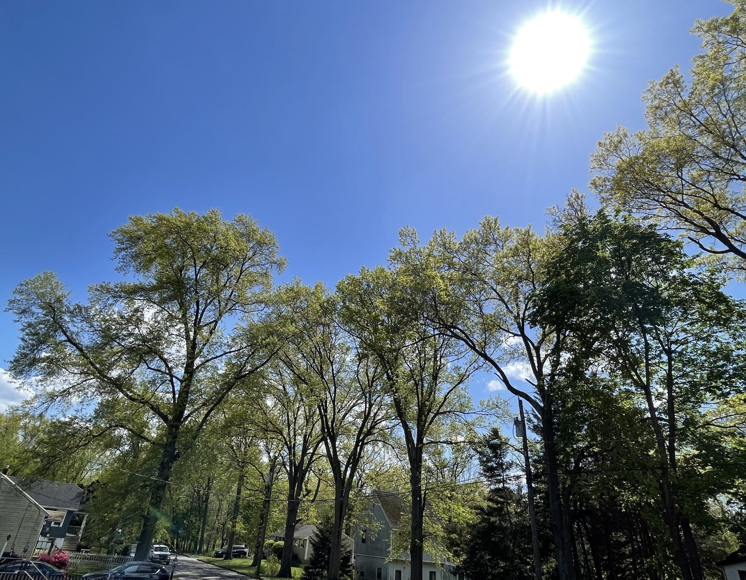
SOUTH PLAINFIELD, NJ – Following an uneventful winter, it didn’t take long for spring weather to kick into high gear. The month of April began with severe weather on April Fool’s Day. Five days later, the first 80-degree day of the year came along. Following a return to reality over the Easter holiday, temperatures climbed back up into the 80s on Wednesday and Thursday. Mother Nature didn’t stop there either. Instead, she gave Greg’s Weather Center a taste of summer with its first 90-degree day of 2023 on Friday.
The temperature at GWC surged to a high of 91 degrees by 1:06 PM in the afternoon. The thermometer may have been able to climb further if it weren’t for afternoon clouds. High cirrus moved in during the early afternoon ahead of a storm system from the Midwest and Ohio Valley. The heat arrived well ahead of schedule. A year ago, the first 90-degree day didn’t occur at GWC until May 21st. After Wednesday and Thursday were warmer than expected, the chance of a 90-degree high increased.
Sun Didn’t Disappoint
The sun didn’t disappoint. After highs of 83 and 88 the previous two days, the thermometer didn’t waste time reaching 80 degrees on Friday morning. By 10:17 AM, GWC had its fourth day of at least 80-degree weather in 2023. Within 90 minutes, the mercury had climbed up to 85 degrees, and it wasn’t even lunchtime yet. Thankfully, the heat index was not a factor due to low humidity. When the temperature reached its peak for the day at GWC, the dew point was only 54 degrees.
The recent stretch of warm weather resulted from high pressure moving off the East Coast, and warm air coming up around it from the South. The taste of summer gave residents in the Mid-Atlantic an opportunity to swap sweatshirts and sweatpants for t-shirts and shorts. The spring flowers also enjoyed the warmth as they responded by showing off their vibrant colors. Cooling systems also got an early start on summer as fans and air conditioners were forced into premature action.
Taste of Summer Coming to an End
Unfortunately, the flirtation with summer will not last long. High cirrus clouds began to move in during the lunch hour on Friday. These clouds are a harbinger of a storm system heading towards Central Jersey with showers and storms for Saturday. The frontal system will put a halt to the warmth, and return the Garden State to temperatures typical of mid-April. The taste of summer in New Jersey is the latest in a litany of extreme weather this month.
On April 1st, the severe weather was no April Fools for New Jersey. A powerful cold front pushed through on that day and produced dangerous storms including 7 tornadoes. It equaled the mark for the most tornadoes in the state on one day set on November 16, 1989. Then a roller coaster ride of temperatures commenced over the next several days. Early week morning lows dropped down into the 30s before surging to 80 on April 6th. Following another severe weather threat and a chilly Easter, the temperatures rebounded sharply again into the 80s by mid-week. The Garden State has not been alone when it comes to extreme weather these days.
Down south in Florida, heavy rains were the story. A supercell thunderstorm remained stationary over the Sunshine State’s east coast and produced non-stop torrential rainfall in Broward County. Places such as Fort Lauderdale received over two feet of rain in just 24 hours. For many locales, the 25.91 inches that fell would be a lot of rain for just a year. Some tropical storms and hurricanes do not even produce that much rainfall. It became the largest rainfall in Florida’s history. The previous mark was 23 inches which fell in the Florida Keys back in 1980.

