Storm Aftermath
Stormy Weather No April Fools
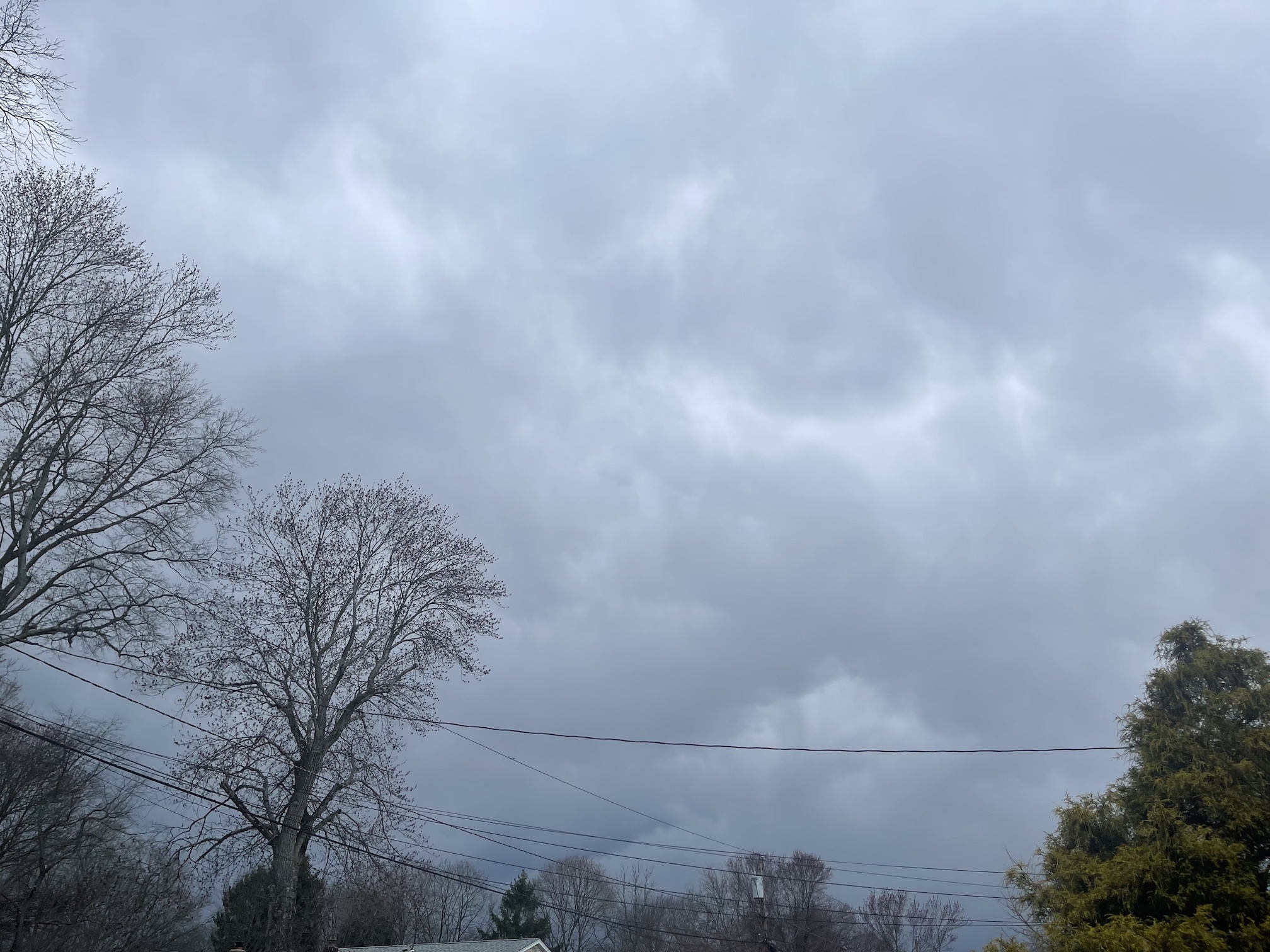
Saturday afternoon’s Mammatus clouds at GWC was a harbinger of the severe weather outbreak.
Read MoreApril 20, 2024
Blogging about weather events such as tropical storms and hurricanes, severe weather outbreaks, nor'easters and snowstorms affecting the Garden State.
Saturday afternoon’s Mammatus clouds at GWC was a harbinger of the severe weather outbreak.
Read MoreSecond Named Storm to Impact Garden State in 2020 For the second time during this 2020 Atlantic Hurricane Season, a
Read MoreWarm, Humid Weather Resulting from Tropical Storm Jose Checking the temperatures this morning for the next five days here in
Read MoreWhile Jose meandered its way up the Eastern Seaboard this week, and created rough surf and dangerous rip currents along
Read MoreHistoric and Powerful Storm Covered Entire Sunshine State with Rough Weather To begin my blog post this evening, I will
Read MoreHistoric and Powerful Storm Covered Entire Sunshine State with Rough Weather To begin my blog post this evening, I will
Read MoreDid 12 Year Gap Between Major Storms Cause Complacency? Earlier this year, I read an article that talked about the
Read MoreStorm’s Floods, Winds, and Surge in Texas Helps Raise Prices at the Pump For much of the summer, gas prices
Read MoreRains from Saturday Evening into Sunday Nearly Total an Inch Clouds from Harvey’s remains move in on Sparta, New Jersey
Read MoreThe Relentless Storm Regaining Strength Again From Warm Waters of Gulf The City of Houston, the fourth largest city in
Read More