Model Forecasts
Lee Remains a Major Hurricane
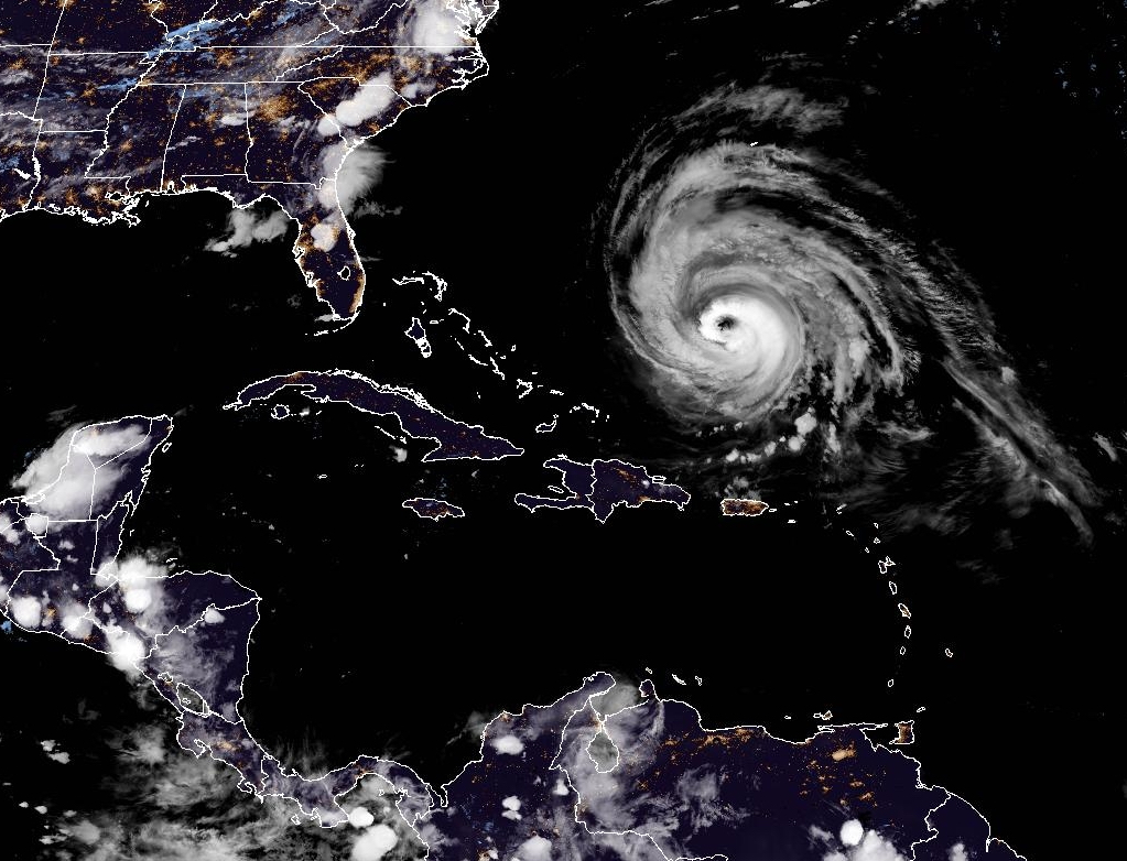
Satellite imager of Hurricane Lee in the Western Atlantic. Lee remains a major hurricane despite being in a weakening phase.
Read MoreApril 20, 2024
Blogging about weather events such as tropical storms and hurricanes, severe weather outbreaks, nor'easters and snowstorms affecting the Garden State.
Satellite imager of Hurricane Lee in the Western Atlantic. Lee remains a major hurricane despite being in a weakening phase.
Read More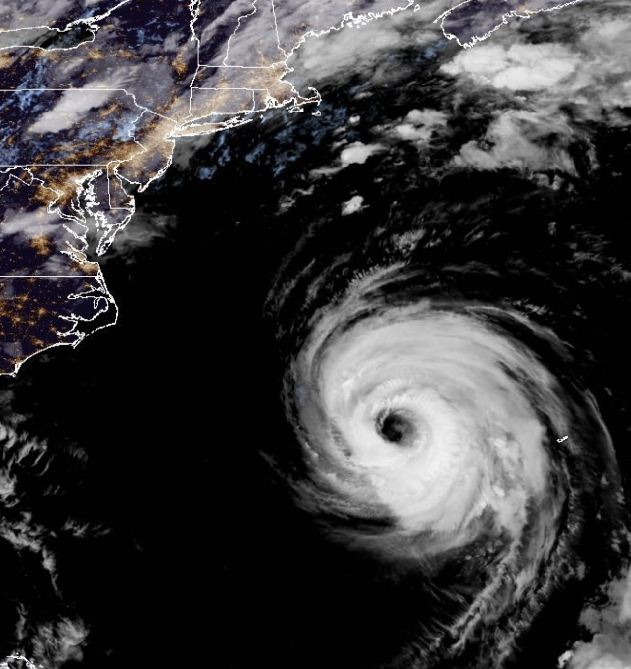
Hurricane Franklin has weaken to a minimal Category Three Hurricane after becoming the most powerful storm to date in the 2023 Atlantic Hurricane Season.
Read More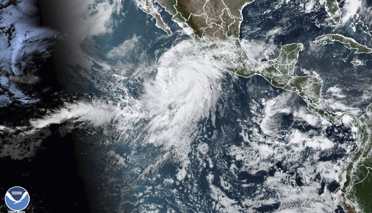
Tropical Trouble for California as once Category Four Hurricane Hilary becomes first Tropical Storm to hit Southern California in 84 Years.
Read More
Tropical Storm Bret and Tropical Storm Cindy made news this past week as two rare named storms to form in the Eastern Atlantic.
Read More
Last weekend’s weather one-two punch brought a ton of rain to Central Jersey leaving places like Spring Lake Park in South Plainfield waterlogged.
Read More
The April Fools Storm last month brought back memories of the severe weather outbreak of November 1989.
Read More
For the third Saturday this month, storms brought severe weather to the Garden State.
Read More
Saturday afternoon’s Mammatus clouds at GWC was a harbinger of the severe weather outbreak.
Read More
Despite La Niña Conditions Hanging on, the 2022 Season Has Been Unusually Quiet It has been eight days since the
Read More
Powerful Mid to Late Week Storm System Should Keep Hurricane Away from East Coast Late Sunday morning, the sixth named
Read More