Commentary
Atlantic Tropics Heating Up
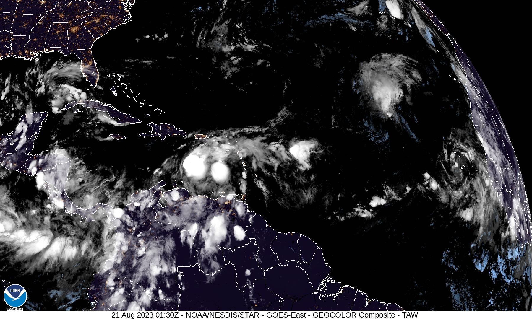
Satellite image of the Tropical Atlantic on the evening of August 20, 2023.
Read MoreApril 20, 2024
Blogging about weather events such as tropical storms and hurricanes, severe weather outbreaks, nor'easters and snowstorms affecting the Garden State.
Satellite image of the Tropical Atlantic on the evening of August 20, 2023.
Read More
Despite La Niña Conditions Hanging on, the 2022 Season Has Been Unusually Quiet It has been eight days since the
Read MoreThe Comparison of the 2020 and 2005 Seasons Raises the Question: How Do You Quantify Tropical Activity? As we have
Read More
Labor Day 2019 is a day that history repeated itself in the Atlantic Tropics. Actually it was on Sunday, but
Read More On this early Tuesday afternoon, Dorian has basically grinded to a halt in its forward motion while its winds have
Read MoreMonster Storm Slamming the Northwest Bahamas Over the past couple weeks, I’ve been monitoring Facebook and Twitter posts, and one
Read MoreWarm, Humid Weather Resulting from Tropical Storm Jose Checking the temperatures this morning for the next five days here in
Read MoreHistoric and Powerful Storm Covered Entire Sunshine State with Rough Weather To begin my blog post this evening, I will
Read MoreHistoric and Powerful Storm Covered Entire Sunshine State with Rough Weather To begin my blog post this evening, I will
Read MoreCategory Four Storm Makes Landfall in Florida Keys Water vapor satellite imagery depicts Hurricane Irma, which is still a powerful
Read More