Storm History
Lee Remains a Major Hurricane
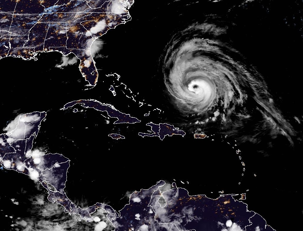
Satellite imager of Hurricane Lee in the Western Atlantic. Lee remains a major hurricane despite being in a weakening phase.
Read MoreApril 25, 2024
Blogging about weather events such as tropical storms and hurricanes, severe weather outbreaks, nor'easters and snowstorms affecting the Garden State.
Satellite imager of Hurricane Lee in the Western Atlantic. Lee remains a major hurricane despite being in a weakening phase.
Read More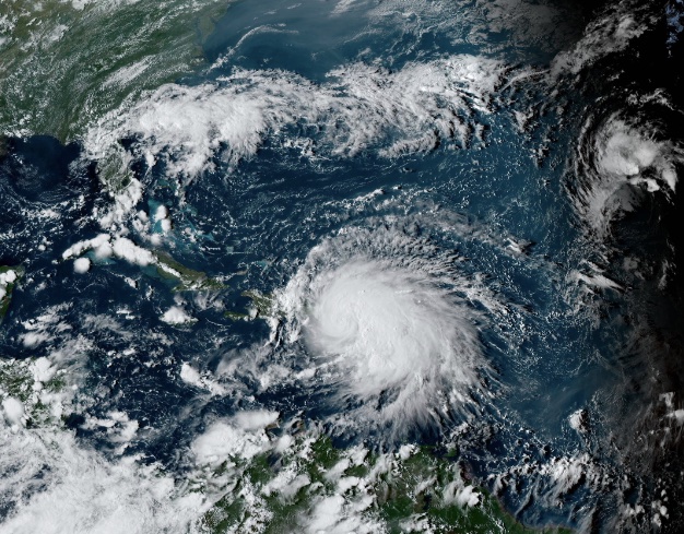
Powerful Mid to Late Week Storm System Should Keep Hurricane Away from East Coast Late Sunday morning, the sixth named
Read More
Satellite image of Hurricane Agatha in the Eastern Pacific near the Southern Mexico coast. Agatha is the first named storm and hurricane of 2022. Image courtesy of NOAA.
Read MoreMonster Storm Slamming the Northwest Bahamas Over the past couple weeks, I’ve been monitoring Facebook and Twitter posts, and one
Read More2nd Named Storm and 3rd Depression Emerge The Atlantic Hurricane Season is a little more than a month old, and
Read MoreStorm Still at Category Two Strength; Pressure down to 941 Millibars The 2017 Atlantic Hurricane Season continues to chug along,
Read MoreStorm Re-Strengthens to Have Winds of 125 MPH: Still Potential Problem for East Coast After pounding Dominica, St. Croix in
Read MoreWhile Jose meandered its way up the Eastern Seaboard this week, and created rough surf and dangerous rip currents along
Read MoreStorm Continues to Be a Minimal Hurricane Offshore in Mid-Atlantic Sorry for the lack of posts to the blog over
Read MoreHistoric and Powerful Storm Covered Entire Sunshine State with Rough Weather To begin my blog post this evening, I will
Read More