Storm Facts
One-Two Weather Punch Pummels Jersey
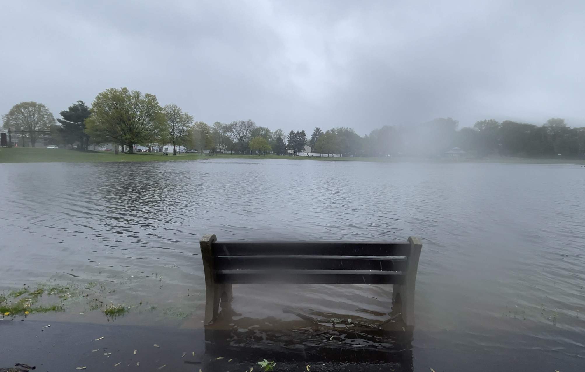
Last weekend’s weather one-two punch brought a ton of rain to Central Jersey leaving places like Spring Lake Park in South Plainfield waterlogged.
Read MoreApril 25, 2024
Blogging about weather events such as tropical storms and hurricanes, severe weather outbreaks, nor'easters and snowstorms affecting the Garden State.
Last weekend’s weather one-two punch brought a ton of rain to Central Jersey leaving places like Spring Lake Park in South Plainfield waterlogged.
Read More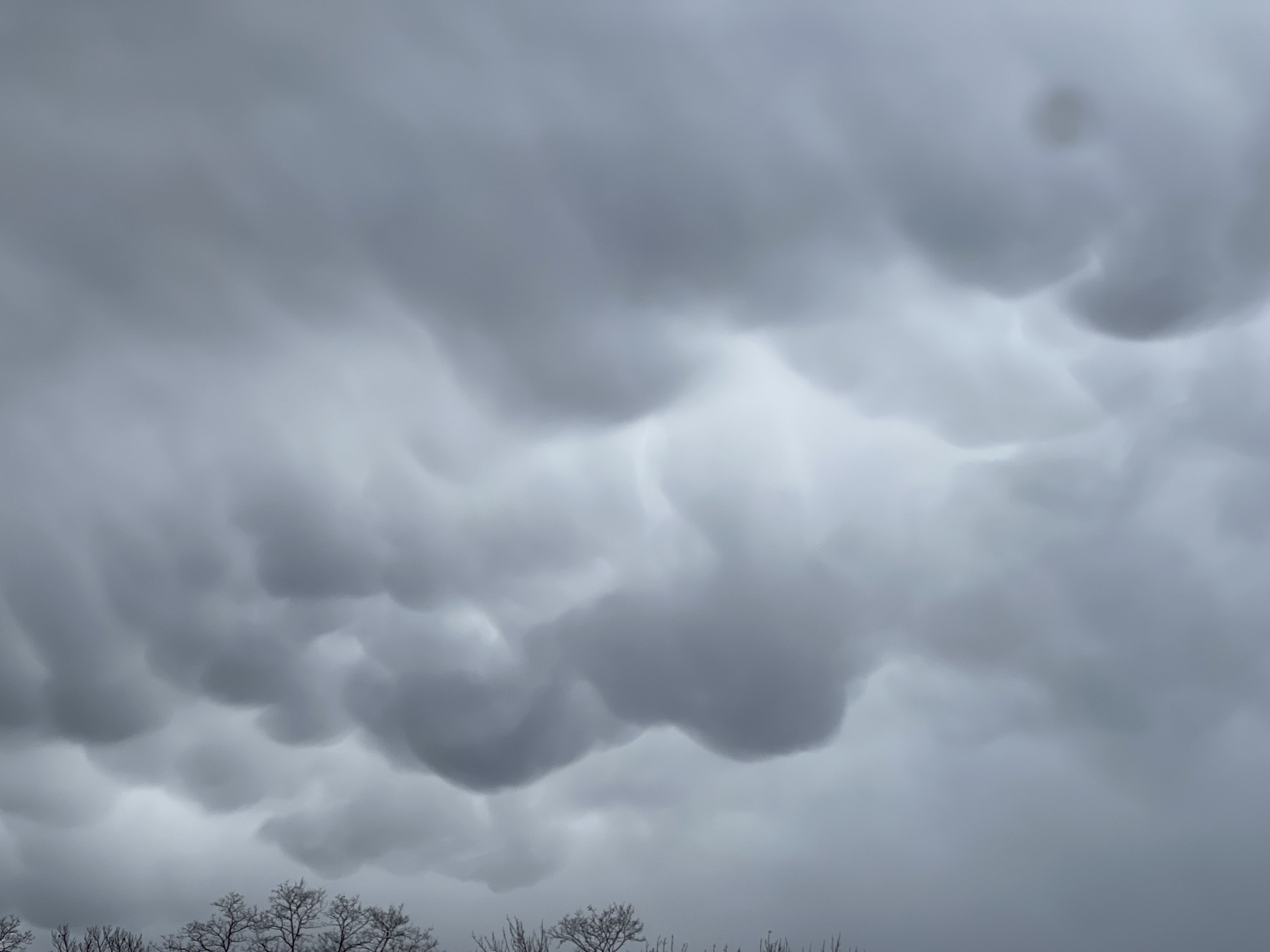
The April Fools Storm last month brought back memories of the severe weather outbreak of November 1989.
Read More
For the third Saturday this month, storms brought severe weather to the Garden State.
Read More
Saturday afternoon’s Mammatus clouds at GWC was a harbinger of the severe weather outbreak.
Read More
Late Saturday morning storms brought the record May 2022 rain total to over 6 inches.
Read More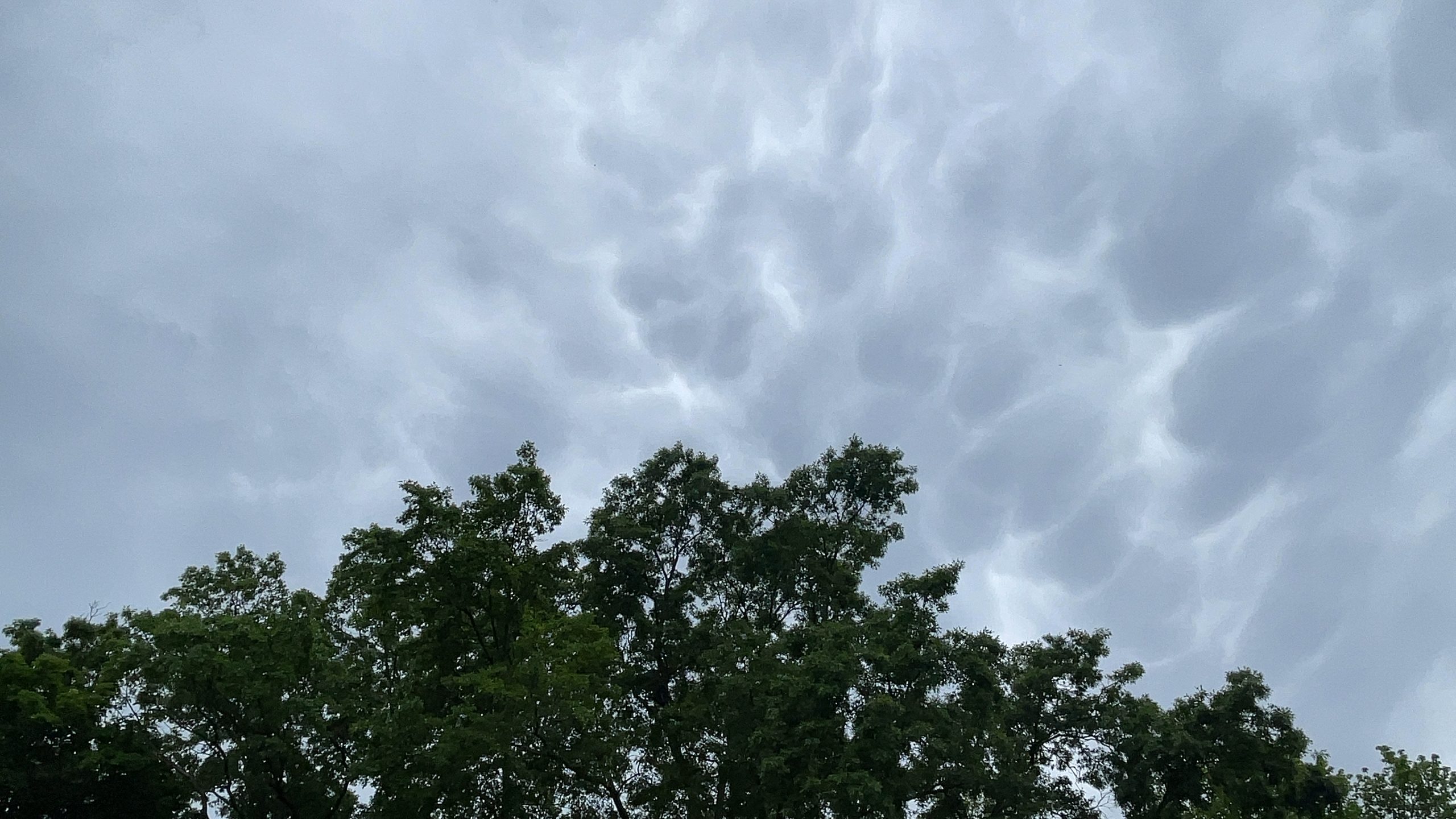
Two Rounds of Storms Bring Over 1.5 Inches of Rain to GWC SOUTH PLAINFIELD, NJ—The fourth time turned out to
Read More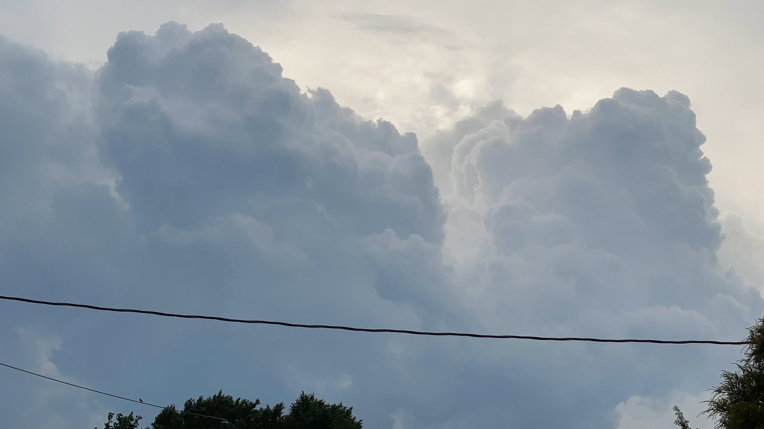
Storm Prediction Center Has Much of New Jersey Under Slight Risk for Severe Weather on Friday SOUTH PLAINFIELD, NJ—Did you
Read More
For the third time in a week, a severe weather threat teased Greg’s Weather Center and Central Jersey.
Read More
Skies over Central Jersey weren’t this cloudy on Saturday as the sun blazed a trail of record temperatures across New Jersey.
Read More
A massive cumulonimbus cloud develops to the north of Greg’s Weather Center during the severe weather threat late Monday afternoon.
Read More