Storm Track
Lee Remains a Major Hurricane
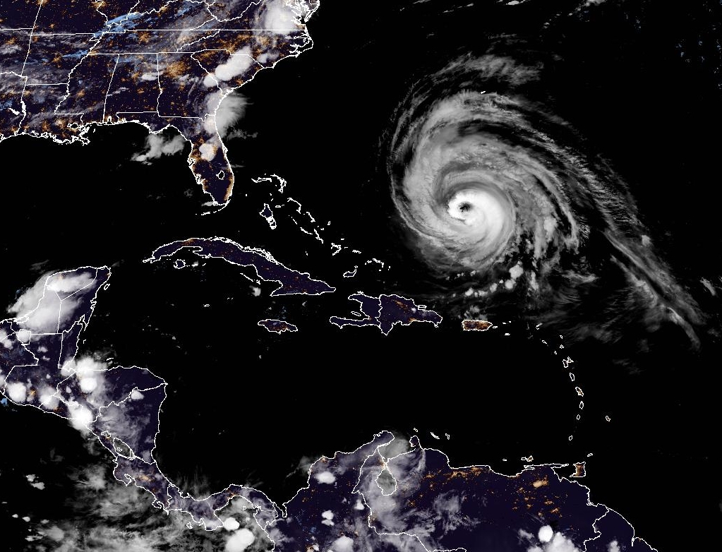
Satellite imager of Hurricane Lee in the Western Atlantic. Lee remains a major hurricane despite being in a weakening phase.
Read MoreApril 23, 2024
Blogging about weather events such as tropical storms and hurricanes, severe weather outbreaks, nor'easters and snowstorms affecting the Garden State.
Satellite imager of Hurricane Lee in the Western Atlantic. Lee remains a major hurricane despite being in a weakening phase.
Read More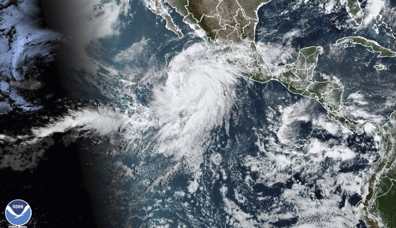
Tropical Trouble for California as once Category Four Hurricane Hilary becomes first Tropical Storm to hit Southern California in 84 Years.
Read More
Despite La Niña Conditions Hanging on, the 2022 Season Has Been Unusually Quiet It has been eight days since the
Read MoreThe Comparison of the 2020 and 2005 Seasons Raises the Question: How Do You Quantify Tropical Activity? As we have
Read More
Labor Day 2019 is a day that history repeated itself in the Atlantic Tropics. Actually it was on Sunday, but
Read MoreWhile Jose meandered its way up the Eastern Seaboard this week, and created rough surf and dangerous rip currents along
Read MoreStorm Continues to Be a Minimal Hurricane Offshore in Mid-Atlantic Sorry for the lack of posts to the blog over
Read MoreHistoric and Powerful Storm Covered Entire Sunshine State with Rough Weather To begin my blog post this evening, I will
Read MoreHistoric and Powerful Storm Covered Entire Sunshine State with Rough Weather To begin my blog post this evening, I will
Read MoreCategory Four Storm Makes Landfall in Florida Keys Water vapor satellite imagery depicts Hurricane Irma, which is still a powerful
Read More