Storm Facts
Tropical Trouble for California
Tropical Trouble for California as once Category Four Hurricane Hilary becomes first Tropical Storm to hit Southern California in 84 Years.
Read MoreApril 19, 2024
Blogging about weather events such as tropical storms and hurricanes, severe weather outbreaks, nor'easters and snowstorms affecting the Garden State.
Tropical Trouble for California as once Category Four Hurricane Hilary becomes first Tropical Storm to hit Southern California in 84 Years.
Read More
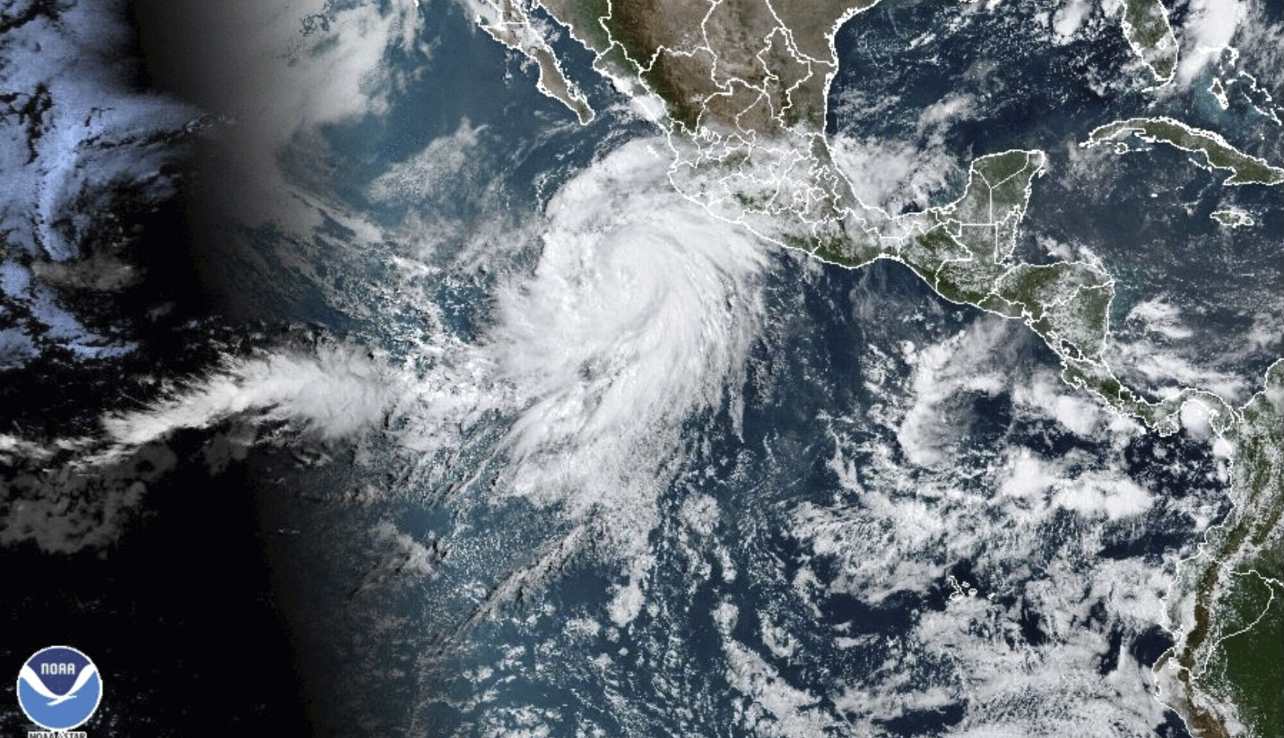
Satellite image of Hurricane Agatha in the Eastern Pacific near the Southern Mexico coast. Agatha is the first named storm and hurricane of 2022. Image courtesy of NOAA.
Read MoreThe Peak of the Season Still Remains; It Only Takes One!!! It has been a while since I last posted
Read MoreEPAC Makes Up for Slow Start With 10 Storms in Last Seven Weeks While the Atlantic got off to a
Read MoreCategory Five Sets Record for Strongest Storm in Eastern Pacific While conditions in the Atlantic have quieted down to some
Read MoreGoni, Kilo, and Soudelor Top Another Big Season of Typhoons Last night, Hurricaneville reported on Kilo crossing the International Date
Read MoreCentral Pacific Hurricane Crosses International Date Line Things continue to be active in the Pacific, especially in the Eastern and
Read MoreIgnacio Joins Kilo in Central Pacific While Jimena Strengthens to Cat 4 While the Atlantic is beginning to rev up
Read MoreDanny’s Development and Erika’s Emergence Sparks Atlantic Basin out of August Doldrums Up until about a week ago, the 2015
Read MoreStorm Peaked to 90 MPH Winds; Third Hurricane Already in EPAC While Tropical Storm Bill preoccupied many in the United
Read More