GWC News
Quake Jolts Garden State
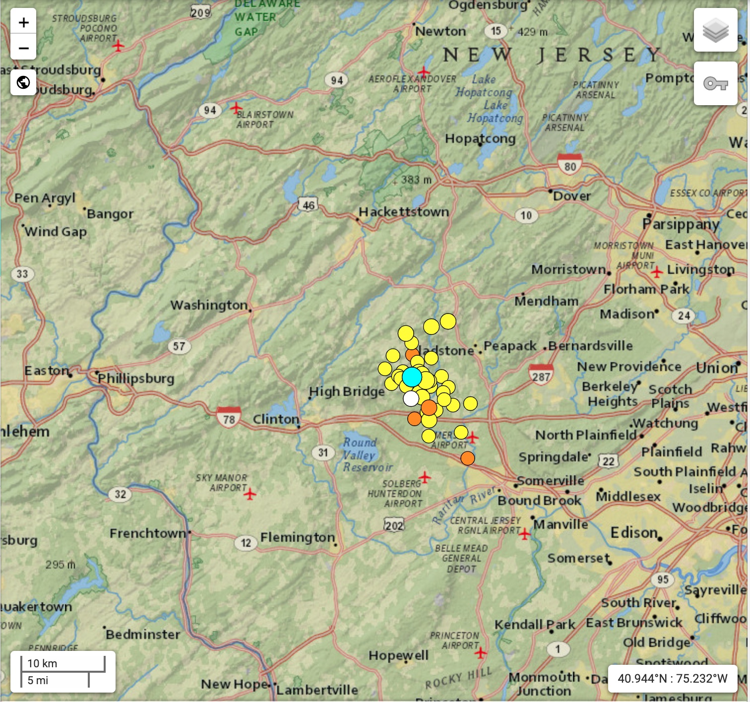
New Jersey Experiences Strongest Trembler Since End of Revolutionary War SOUTH PLAINFIELD, NJ – Minutes before 10:30 AM on Friday
Read MoreApril 25, 2024
Blogging about weather events such as tropical storms and hurricanes, severe weather outbreaks, nor'easters and snowstorms affecting the Garden State.
New Jersey Experiences Strongest Trembler Since End of Revolutionary War SOUTH PLAINFIELD, NJ – Minutes before 10:30 AM on Friday
Read More
Large waves from Hurricane Franklin crashing ashore at Manasquan Beach on August 30, 2023.
Read MoreHurricane Dora Combines with High Pressure for Wind-Fueled Wildfires in Maui Use the coupon code: GWCHURRICANEVILLE, and get 10 percent
Read More
The sun was obscured by an orange smoky haze over Spring Lake Park in South Plainfield, NJ on June 7th thanks to Canadian Wildfires.
Read More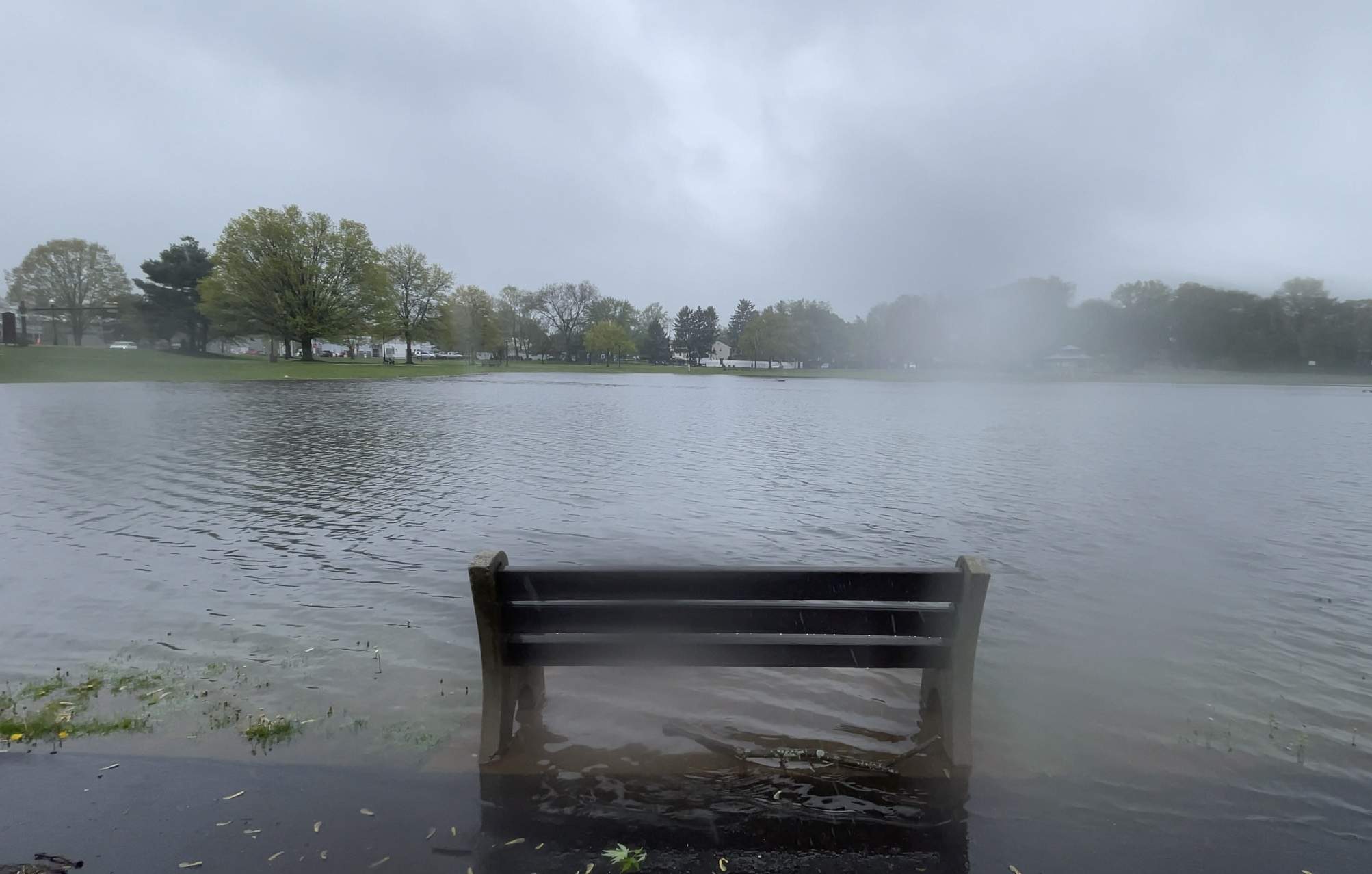
Last weekend’s weather one-two punch brought a ton of rain to Central Jersey leaving places like Spring Lake Park in South Plainfield waterlogged.
Read More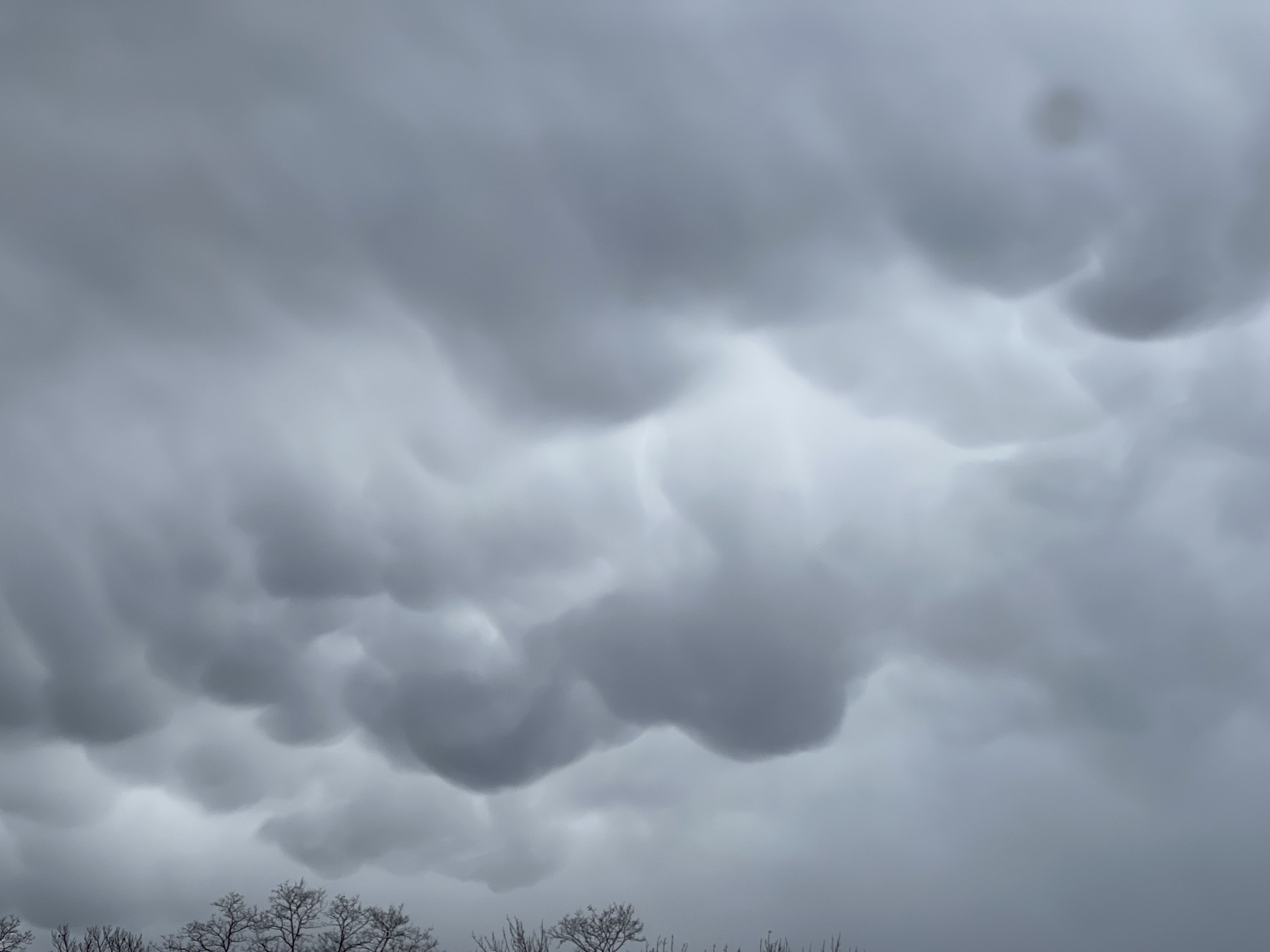
The April Fools Storm last month brought back memories of the severe weather outbreak of November 1989.
Read More
For the third Saturday this month, storms brought severe weather to the Garden State.
Read More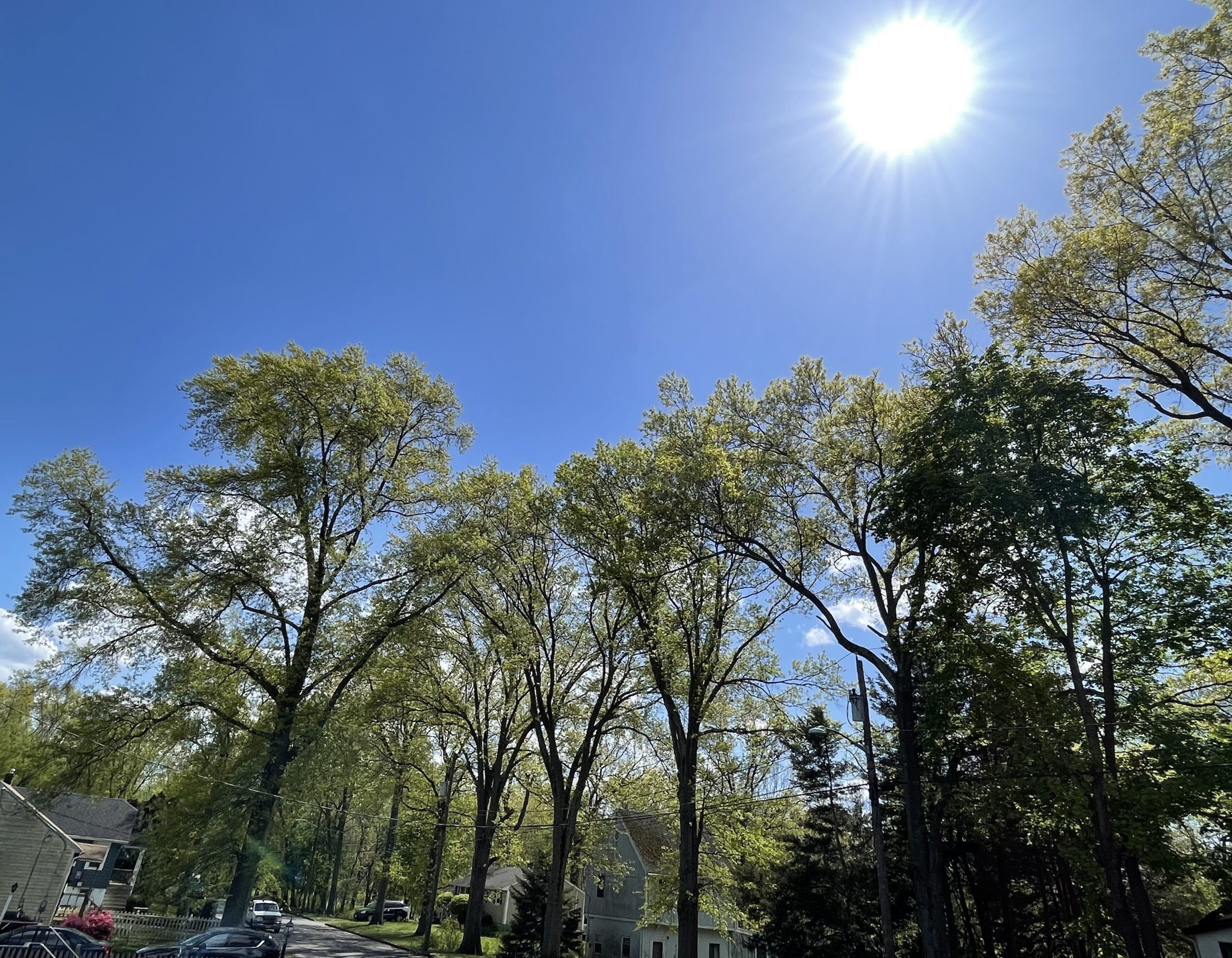
The sun shined down brightly on GWC in South Plainfield on Friday with the first 90 degree day of 2023.
Read More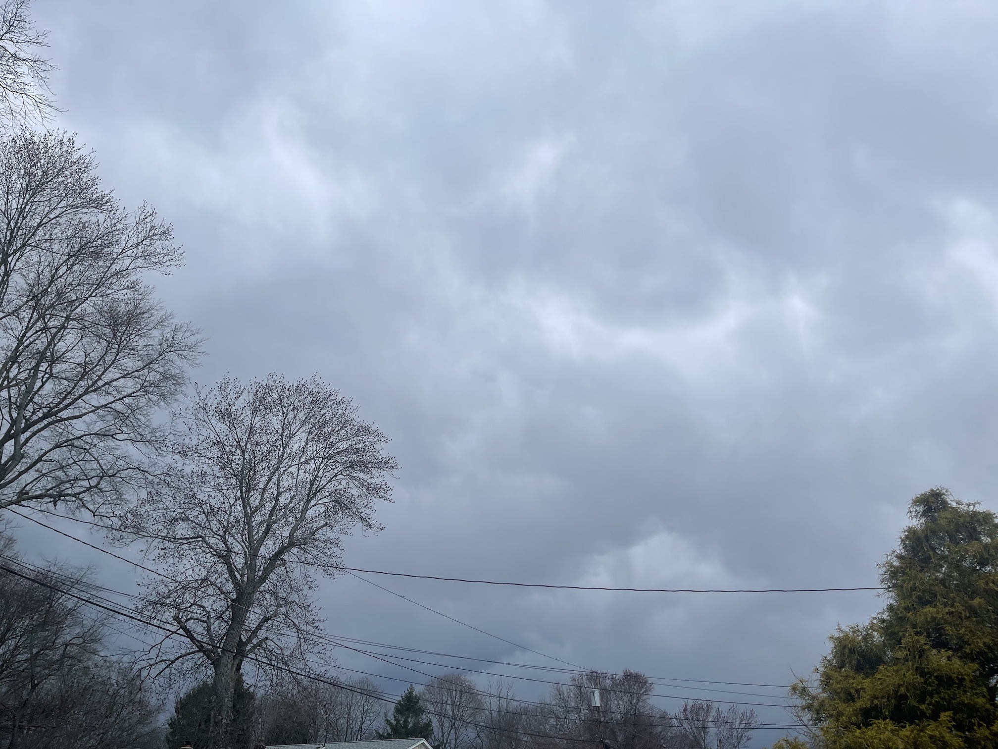
Saturday afternoon’s Mammatus clouds at GWC was a harbinger of the severe weather outbreak.
Read More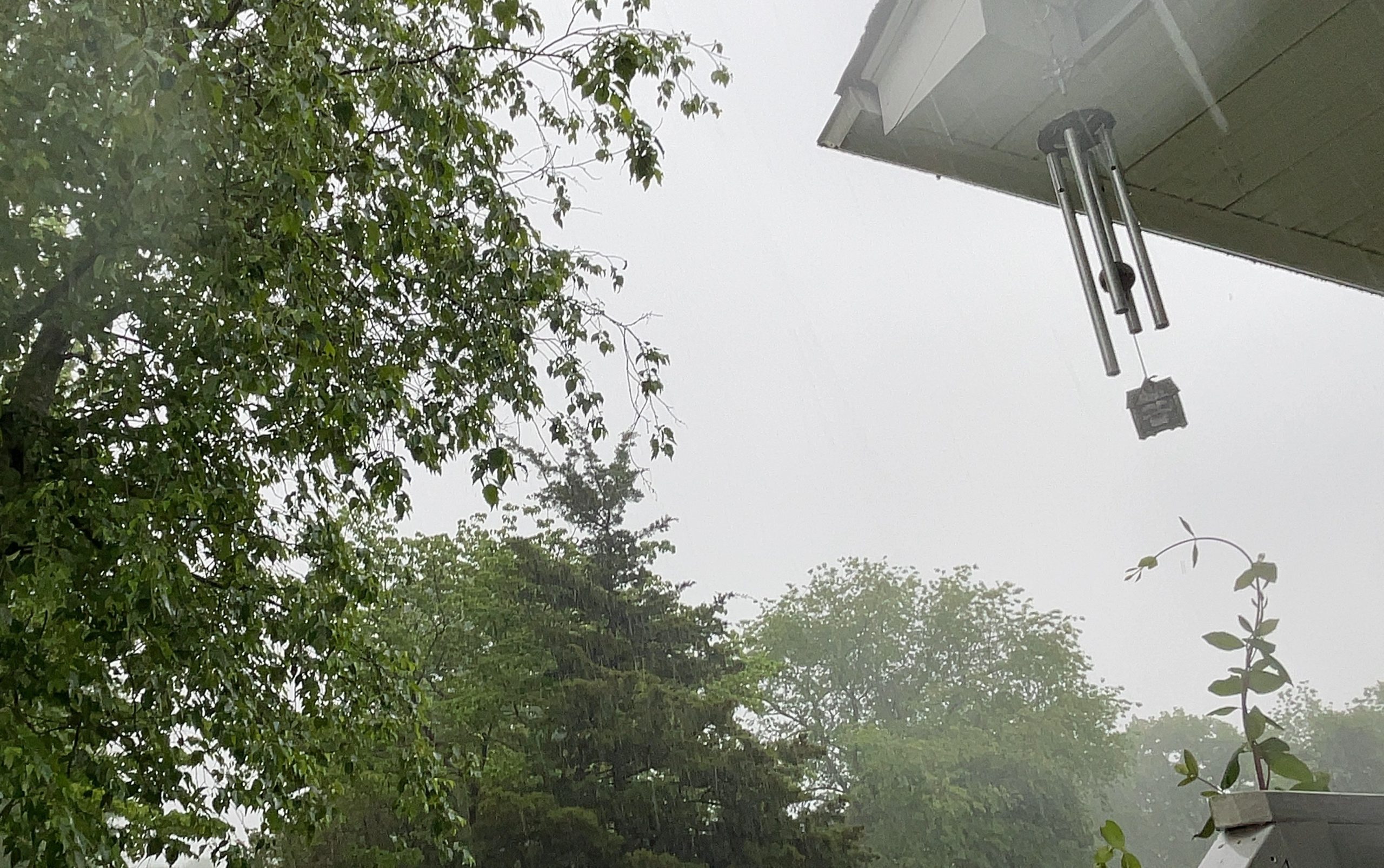
Late Saturday morning storms brought the record May 2022 rain total to over 6 inches.
Read More